
Caledonia State Park, US-30 to Whiskey Spring Road
33.1 miles hiked this section
51.2 miles total AT miles hiked
Pics from this section - Caledonia to Whiskey Spring Road
I didn't think 90 degree weather in southern Pennsylvania in early April was a possibility. Wrong, it's possible. My original plan was a 39-mile section hike from Caledonia State Park (where I left off my last hike) to Boiling Springs, PA. I ended up hiking 33 miles and coming up a bit short due to the extreme heat. 33 miles in about 27 hours, fun!

I drive quite a bit for work, so I'm kind of a road warrior. Driving long-distance isn't an issue for me. Which is good, because it takes about 7-8 hours to get to this section of the Appalachian Trail in southern Pennsylvania. In fact, this distance will only get greater as I hike further away from home. Planes, trains and automobiles, whatever it takes.
Here's a fun fact...the shuttle driver I used for this section was the same guy that shuttled my Dad and I on a similar hike in this area over 15 years ago! The same truck as well, 303,000 miles on it.
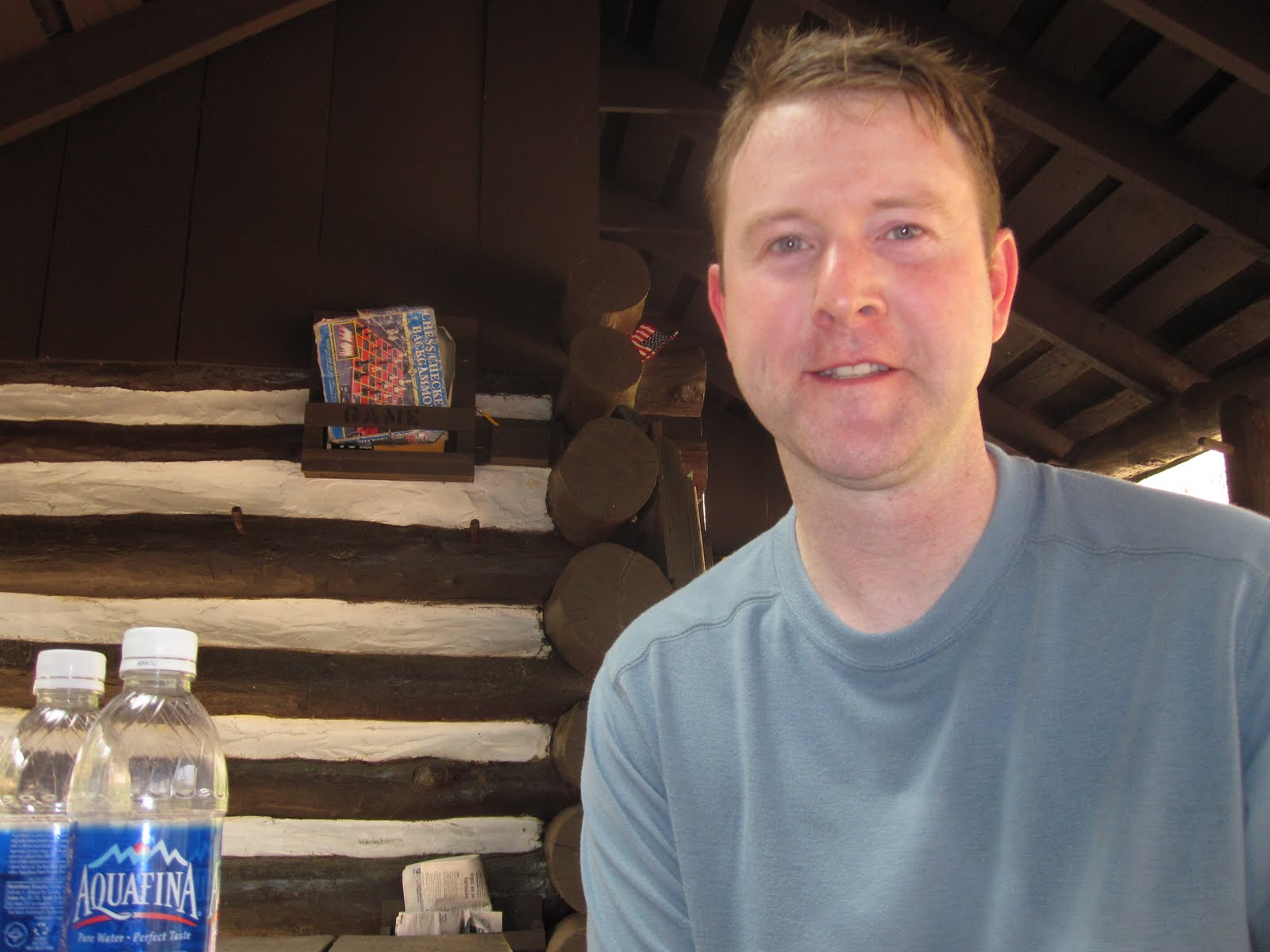
The hike started with crossing the East Branch Conococheague Creek in Caledonia State Park. After passing through the Park, the trail started a nice climb up to the ridge line. 420 vertical feet over a few miles, a great way to start the hike. I arrived at Quarry Gap Shelter, a unique trail shelter in that it is overly maintained, perhaps too nice. The shelter has a wind flap, landscaping, bench and other luxury items not normally founded in an AT shelter. I wasn't planning to stay here tonight, so after a short break it was time to continue.

The trail through this section is some of the easier hiking found on the Appalachian Trail. The notorious Pennsylvania rocks have not yet started and the grade is fairly easy. There were even some sections that had a soft bed of pine needles covering the trail. I reached Birch Run Shelters around 6:00pm. This was my intended destination for the first day, however when I hike alone, I prefer to hike over camp. I decided to push on another 6 or so miles to try to make it to Tom's Run Shelter. I walked into Tom's Run right at dusk. I had the two shelters to myself.
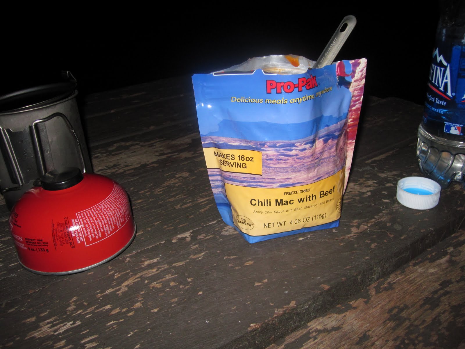
Dinner consisted of a dehydrated Mountainhouse meal, some water and of course, Tylenol PM. After eating and getting cleaned up, I started looking at the next day's planned hike. Since I hiked 6 extra miles today, I could either hike 19 miles to Alec Kennedy Shelter, or what if I hiked the entire 22.9 miles back to Boiling Springs?
Day 1 - 16.2 miles
I slept better then I've ever slept in a shelter. Except for a few times of waking up to some sort of critters outside the shelter, I slept very well thanks due to Tylenol PM. This will be a necessary addition on all future hikes. Today was expected to be in the high 80's, so I had planned to get an early start. That didn't exactly pan out as when I woke up initially at 6:30am, I was still tired and fell back asleep until 8:30am. I packed up quickly and was on the trail by 9:00am.
After 1.5 miles, the trail detoured around Camp Michaux. Camp Michaux was originally part of a farm associated with the iron making operation at Pine Grove Furnace. The farm became a Civilian Conservation Corp camp in the 1930's and was finally used as a Prisoner of War camp for German POW's in World War II. Most of the buildings are gone, with the exception of a stone wall and foundation. The AT travels through many historic areas. In fact, Gettysburg is only 20 miles from this area. Many of the hills and trails I walk over were used by troops in the Civil War.

By mid-morning I made it to Pine Grove Furnace State Park. This park is infamous along the AT and serves as a kind of halfway point for thru-hikers (Pine Grove is located near the actual AT mid-point). It is also home of the Half Gallon Challenge, where thru-hikers are challenged to eat a 1/2 gallon of ice cream of their choosing within 1/2 hour. Unfortunately for me, the General Store wasn't open today, so my challenge would have to wait. I did however enjoy walking through this historic park and seeing some of the same sights that my Dad and I saw 15+ years ago on a hike through this area.

After making it to Whiskey Spring Road I decided to hitch a ride back to my car in Boiling Springs. What an incredible section of the AT. I plan to hike another section in PA in the Fall, picking up where I left off.
Day 2- 16.9 miles
Total Section Miles - 33.1 miles
Total AT Miles - 51.2 miles
Next hike up - Springer Mountain in Georgia in early May. I am planning a 5-day hike starting at the southern terminus of the Appalachian Trail in Georgia.
No comments:
Post a Comment